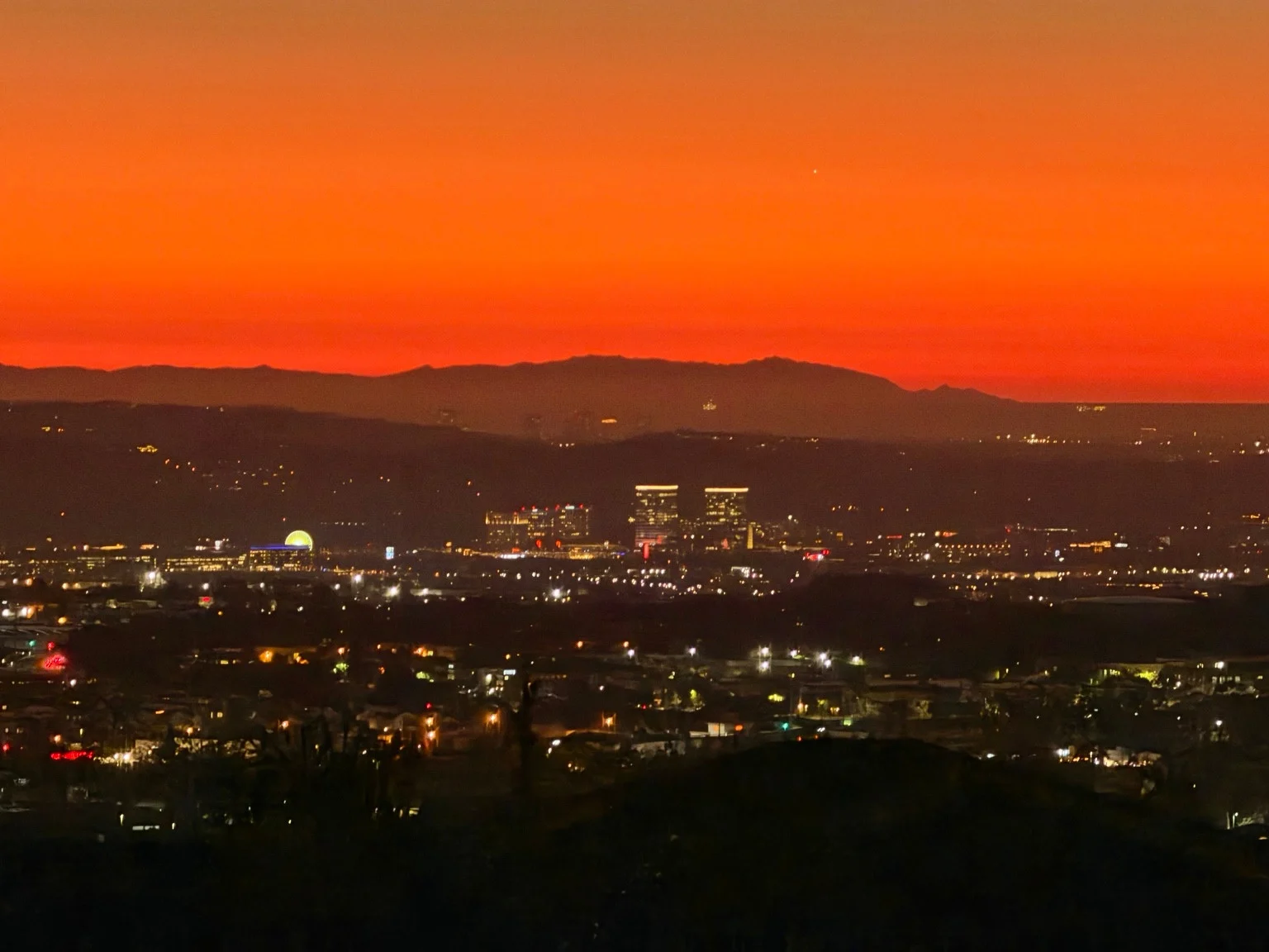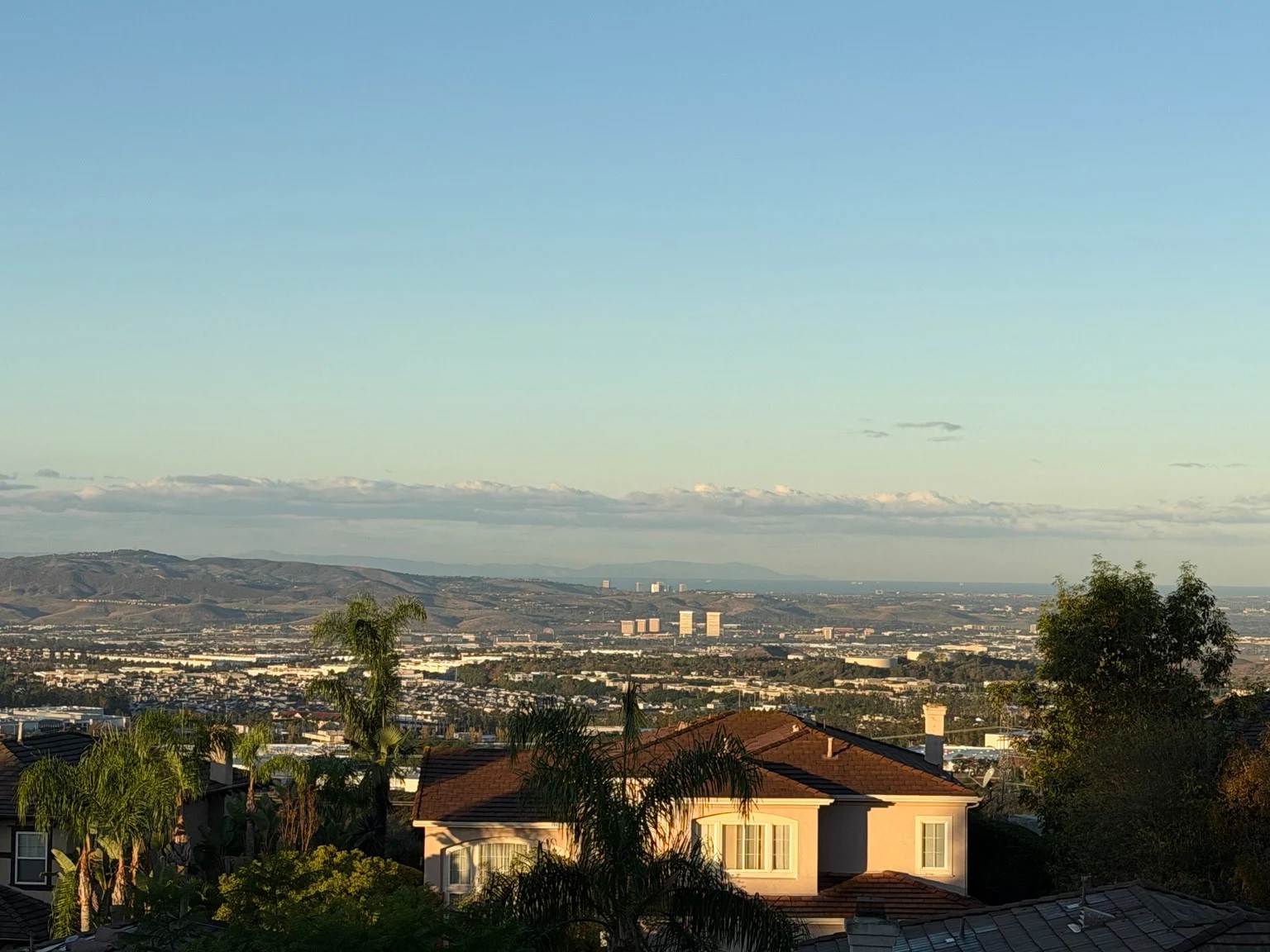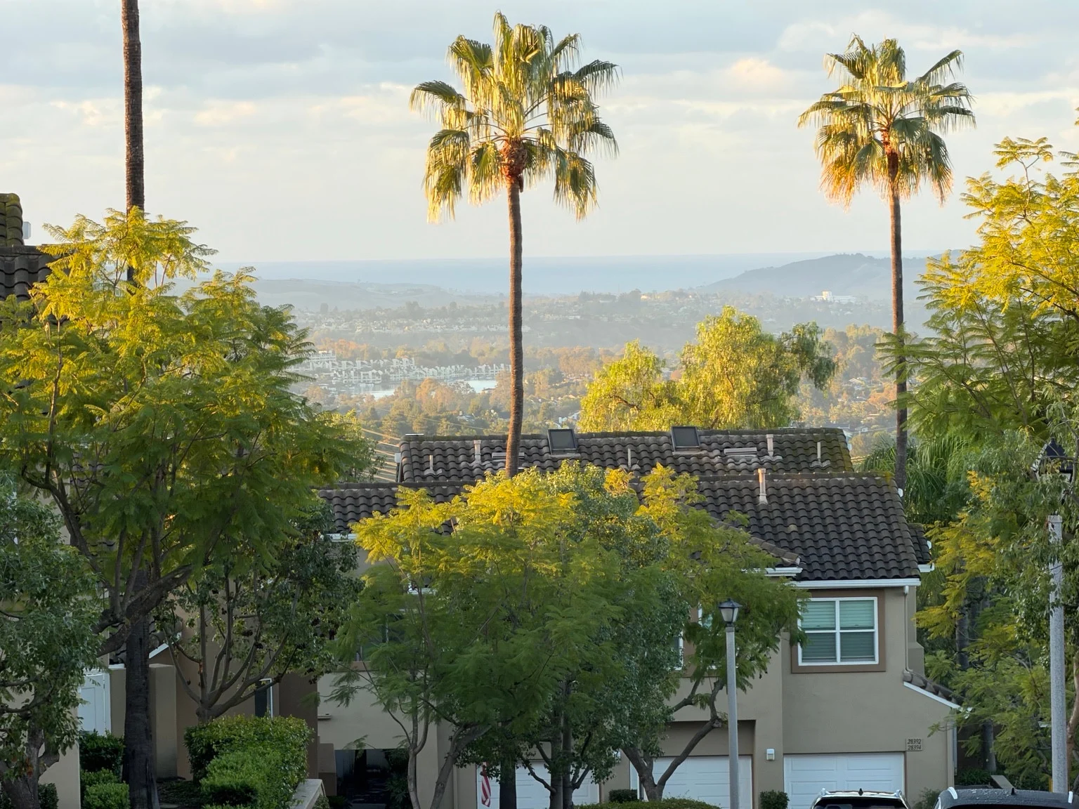
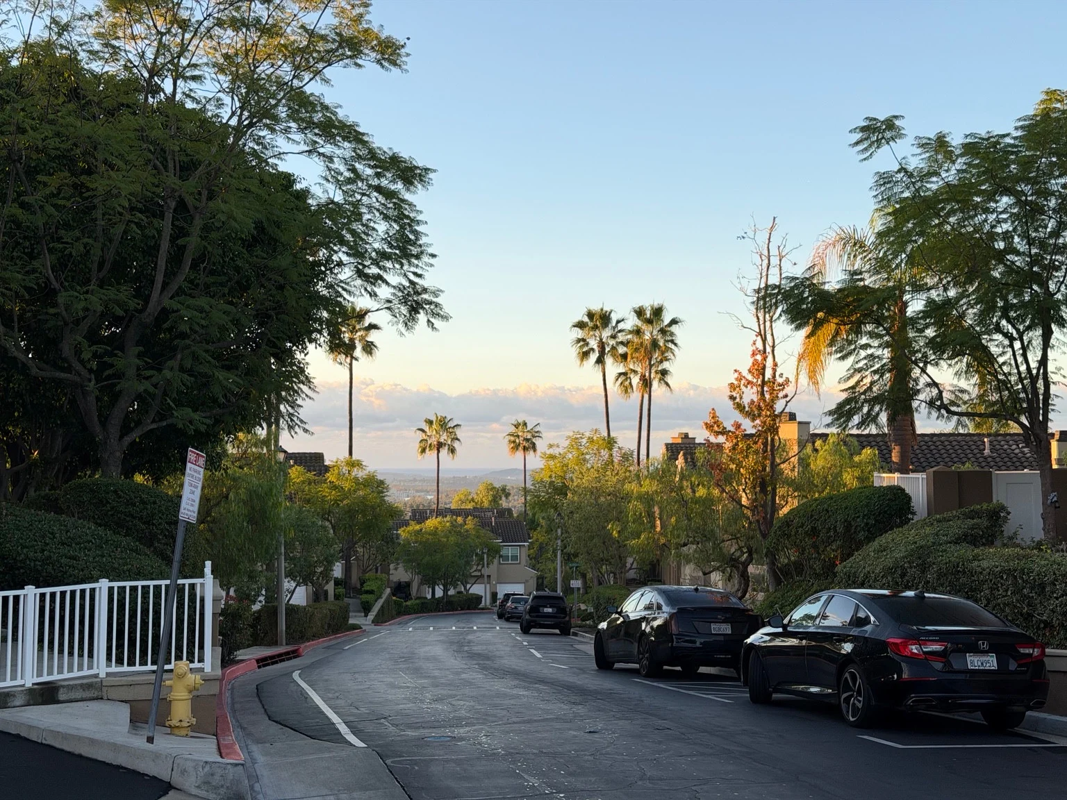
Good morning, Montecido. The neighborhood is waking up to a view worth pausing for: warm light on the homes, palms rising above the rooftops, and a distant blue band beneath a broad bank of clouds. After the rain, this is the kind of morning that makes a familiar street feel newly washed and a little more expansive.
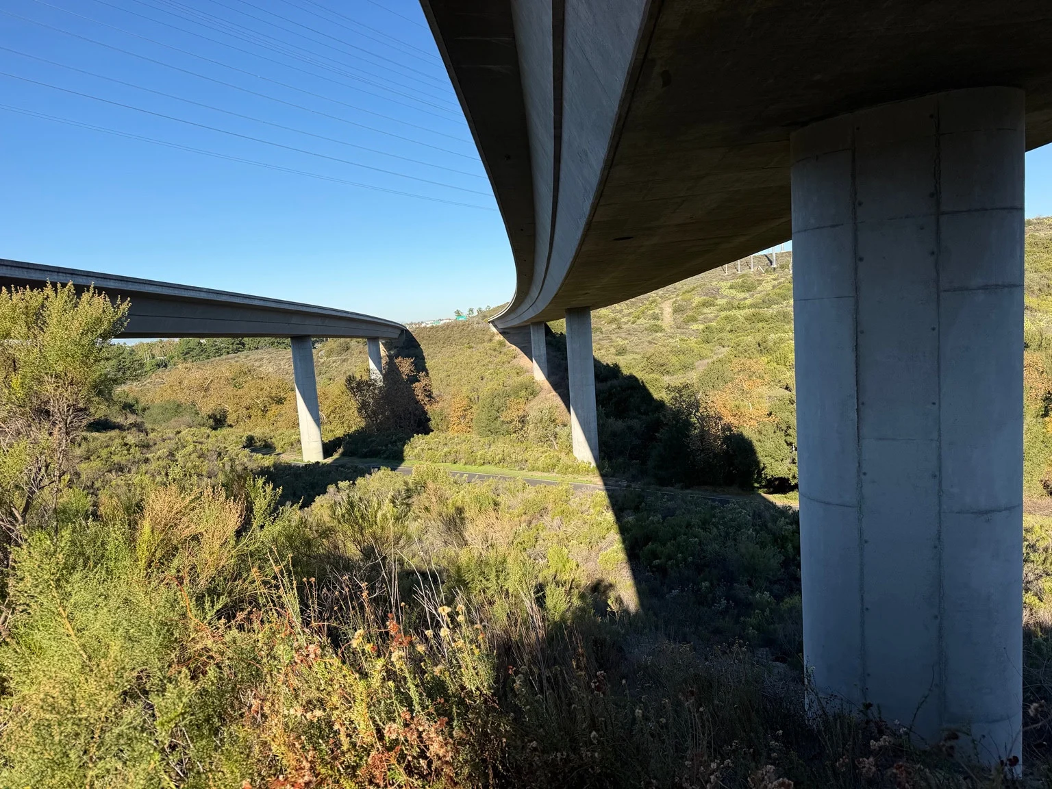
These four photographs follow the view from the rooftops toward the wider neighborhood. There are parked cars, leafy trees, white railings and the everyday details of home, with a much bigger landscape beyond them. From our hillside in Portola Hills, the eye keeps traveling past the buildings and toward the coast.
A beautiful view with a surprising horizon
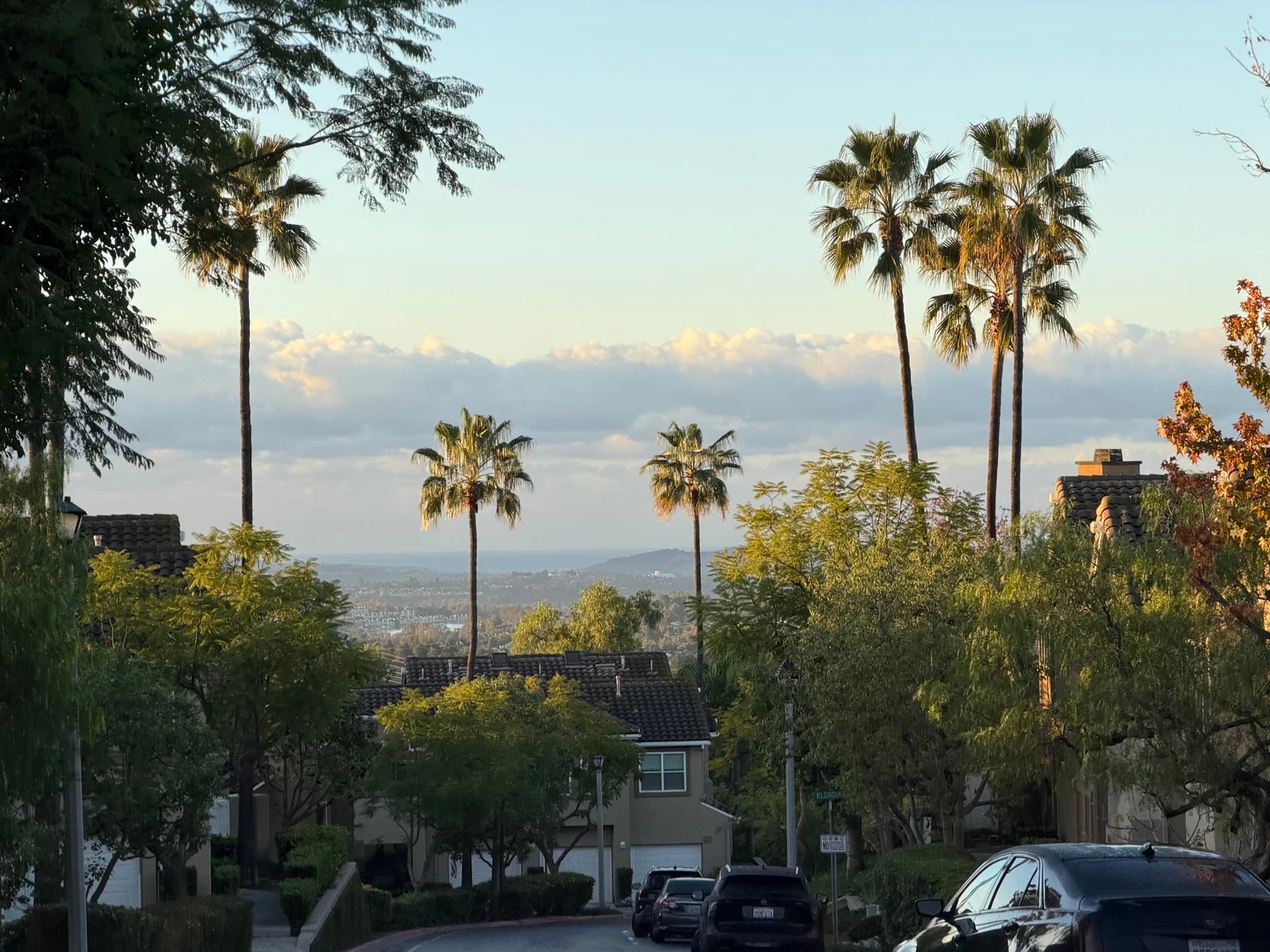
One detail stands out: the ocean appears unusually high in the distance. That is an understandable impression from this elevated viewpoint, where layers of land, water and low clouds sit close together in the frame. The pale horizon and darker blue band create a striking backdrop to the neighborhood.
The photographs, however, are not a measurement of sea level. They do not show a nearby shoreline, a tide gauge or water reaching streets. We cannot determine the height of the tide from this view, or establish that what looks high in the photographs caused flooding somewhere else. What we can do is separate that visual impression from what coastal authorities are reporting.
There is a real coastal-flooding concern
The regional concern is not imaginary. In a November 4 update, NOAA explained why California had experienced record water levels. Its account described several influences working together: unusually high astronomical tides, ocean conditions associated with El Niño, and warmer water expanding during a marine heatwave.
That is useful context for understanding why some coastal communities have faced flooding. High water is not always the result of one storm or one tide. The combination of background sea level, the tidal cycle and incoming waves can matter, and conditions at a beach can differ greatly from the view inland.
NOAA also identified November 22–27 as an upcoming period of above-normal high tides. Those dates are not a claim that flooding must occur everywhere, and they should not be confused with today's tide height.
What the local forecast says this morning
For today, November 17, the National Weather Service San Diego coastal bulletin includes Orange County in a High Surf Advisory through 4 a.m. Wednesday. The early-morning bulletin calls for breaking waves of 6–10 feet at west-facing beaches, very strong rip currents, localized beach erosion and minor coastal flooding during high tides.
That provides a firmer explanation for the current coastal risk than the apparent position of the ocean in a hillside photograph. Anyone heading to the beach should check the latest advisory before leaving and follow local closures and posted warnings.
A good morning from our hillside
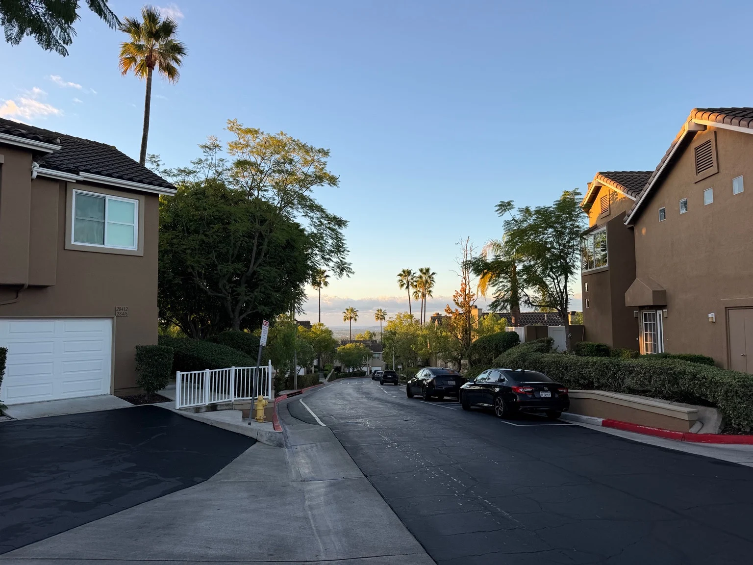
Here in Montecido, the photographs tell a quieter story: sunlight returning to the homes, clouds gathered over the distant landscape, and a neighborhood settling into another morning. Enjoy the view, take a moment before the day gets busy, and keep our coastal neighbors in mind while the surf remains rough.
Good morning from Montecido, Portola Hills.