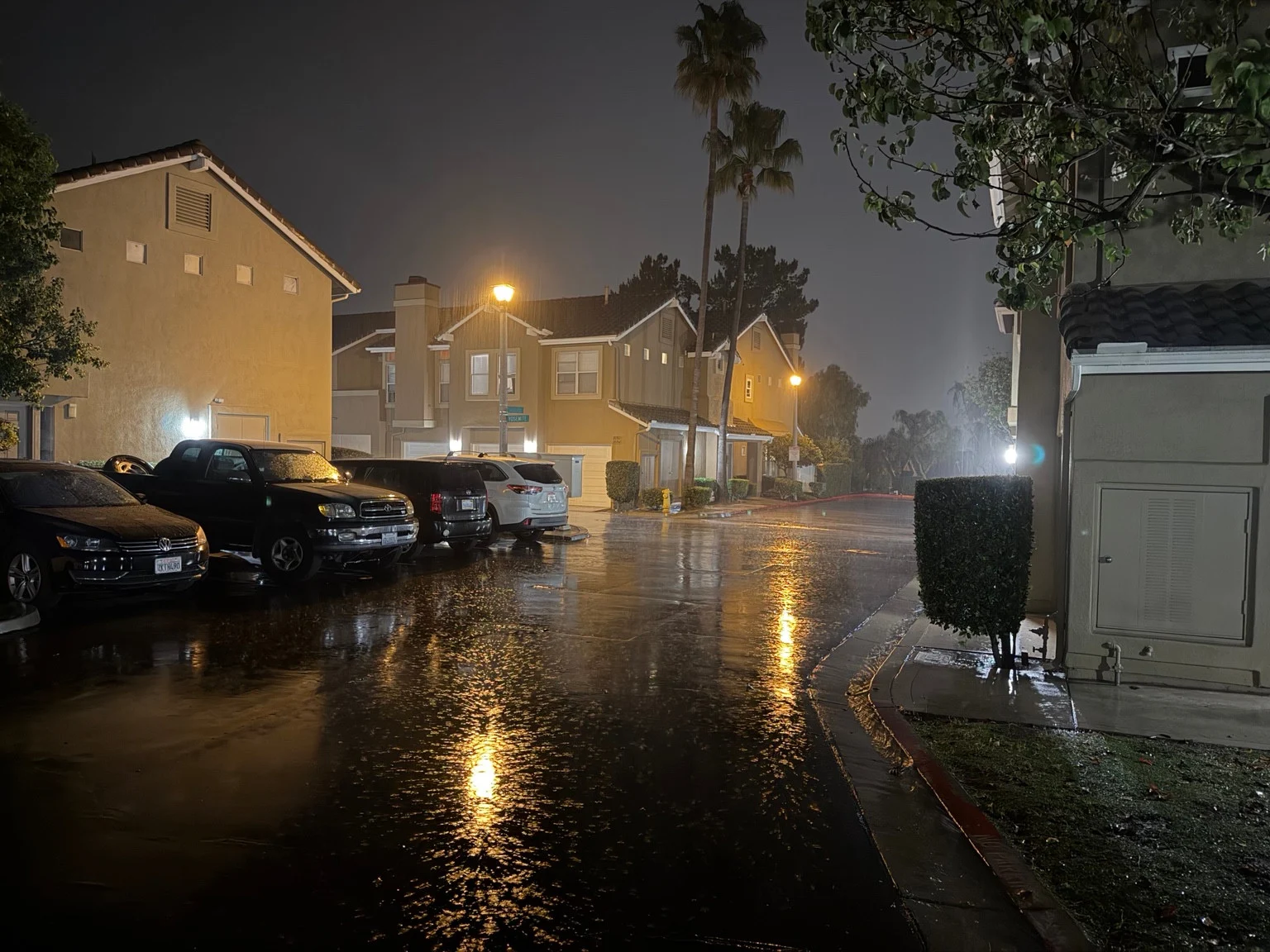
Rain turned the streets of Montecido in Portola Hills into a sweep of golden reflections Monday night, November 16, as a resident reported a downpour and shared three photographs from the neighborhood. Beneath the streetlights, falling drops appear as bright streaks. Across the pavement, light from homes and lamps stretches between parked cars and red-painted curbs.
The photographs bring the weather down to street level. Earlier, the view was about towering clouds above a shopping center. This time, it is about rain outside the front door: shining asphalt, wet sidewalks and a residential street transformed by reflected light.
Three views of a rainy night
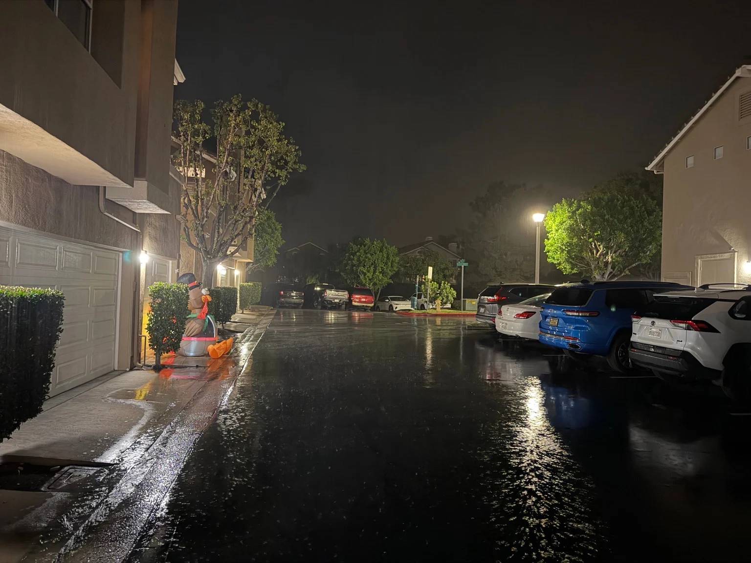
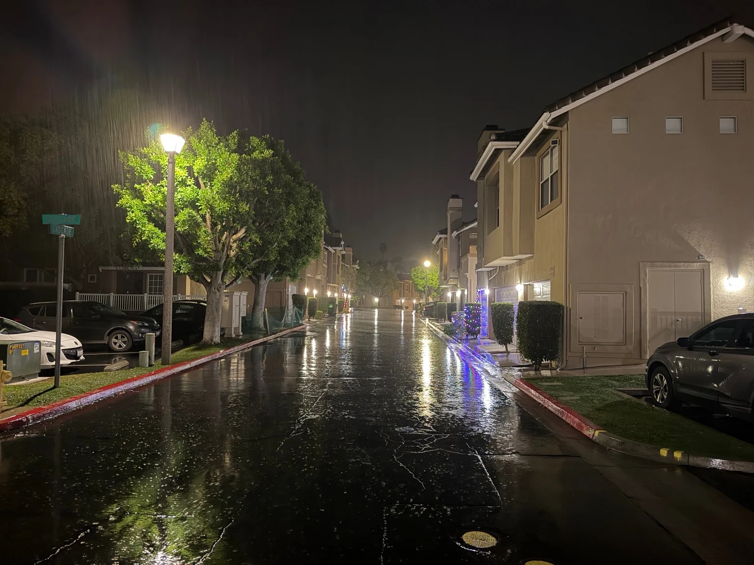
The first photograph looks toward a bend in the street, with palms above the homes and amber light reflected across the roadway. Rain is visible near the lamps, while parked vehicles line the foreground. The second faces another direction between rows of homes, where white garage lights and a seasonal decoration stand out against the dark sky.
The third image gives the longest view down the neighborhood street. A lamp at the left illuminates distinct streaks of falling rain. Farther along, white and colored lights reflect off the wet surface, with homes receding into the distance.
These are photographs supplied with a resident’s report of rain happening now, not a measured rainfall record. The location is identified as Montecido in Portola Hills by the resident. The files do not contain capture-time or GPS metadata that independently confirms those details. We are not naming individual homes, identifying people or treating the appearance of the pavement as proof of flood depth.
Tonight’s rain is separate from the later storm outlook
Rain Monday night is consistent with the regional outlook published by the National Weather Service earlier in the day. In its November 16 discussion, the San Diego forecast office described a weather system bringing rain and a chance of thunderstorms to Southern California Monday and Monday night, followed by a drier interval.
That same discussion identified a stronger system for Thursday, November 19, with the potential for more rainfall and stronger winds. Tonight’s local shower report therefore does not mean Thursday’s forecast has simply arrived early. The NWS regional discussion provides broader context, not a rain-gauge reading for this neighborhood.
No verified local rainfall total or hourly intensity is being assigned to these photographs. A bright curtain of rain in a streetlamp can look dramatic, but a camera does not measure how much water has fallen. Likewise, these images alone do not establish road closures, property damage or a flood warning.
Enjoy the view, but respect water on the road
The reflections make a memorable neighborhood scene, but anyone heading outside should distinguish a wet surface from water whose depth or movement cannot be judged. If a route is flooded, do not enter it on foot or in a vehicle, and do not go around a road barrier. The National Weather Service’s flood-safety guidance warns that water can conceal damage to the roadway and that people often underestimate its force.
For residents watching from indoors, this is a vivid change from the earlier cloud photographs. Montecido’s familiar streets, palms and garage fronts are still recognizable, but the light and rain give them an entirely different character. The three images document that local moment while leaving rainfall totals and official alerts to the instruments and agencies that measure them.