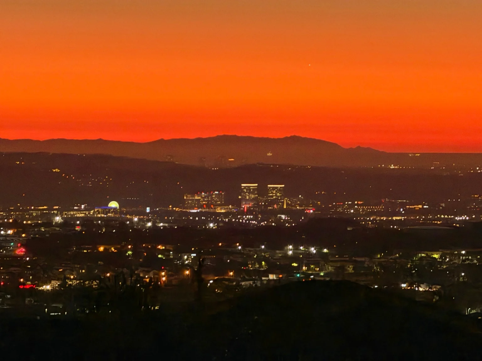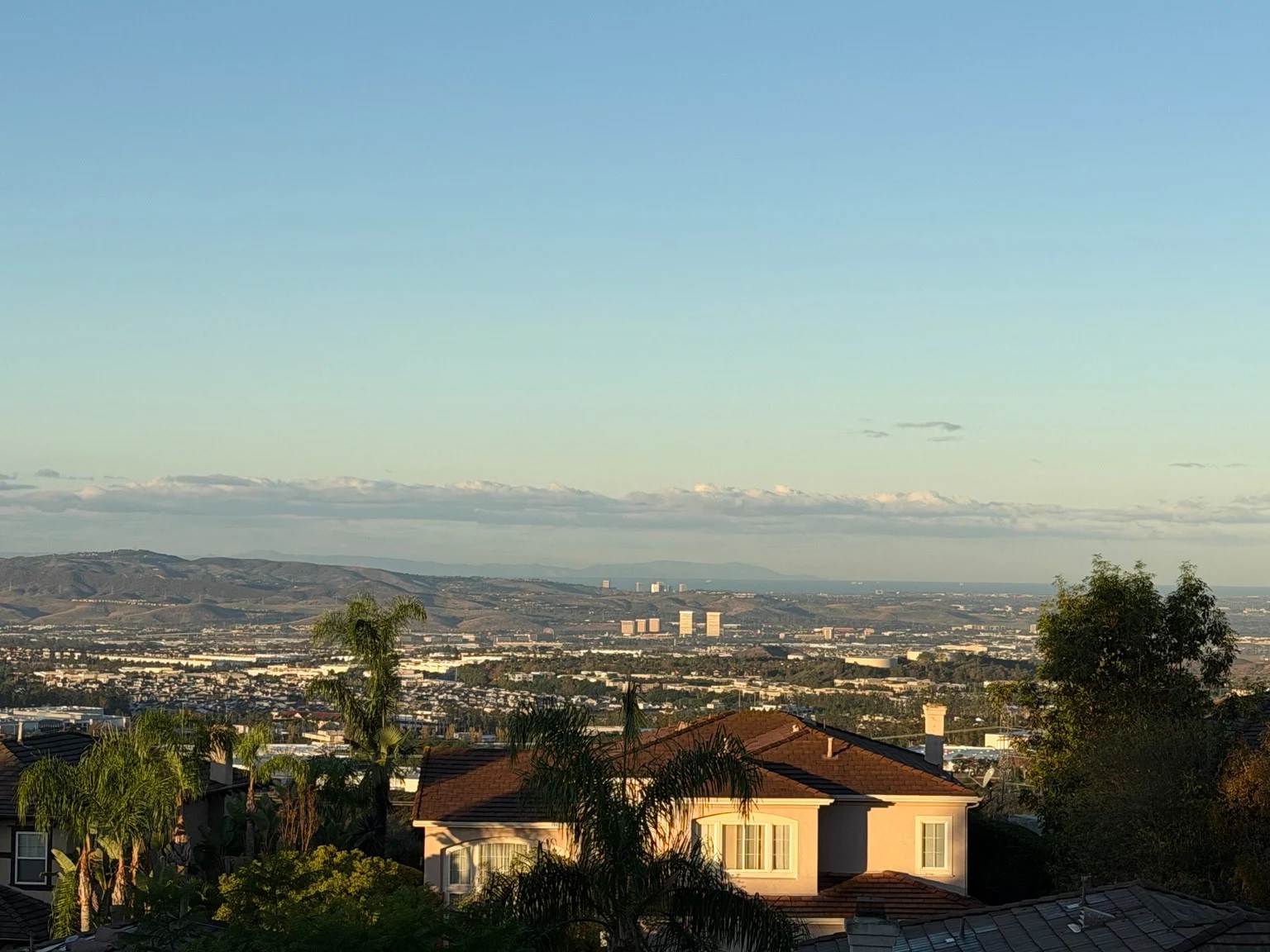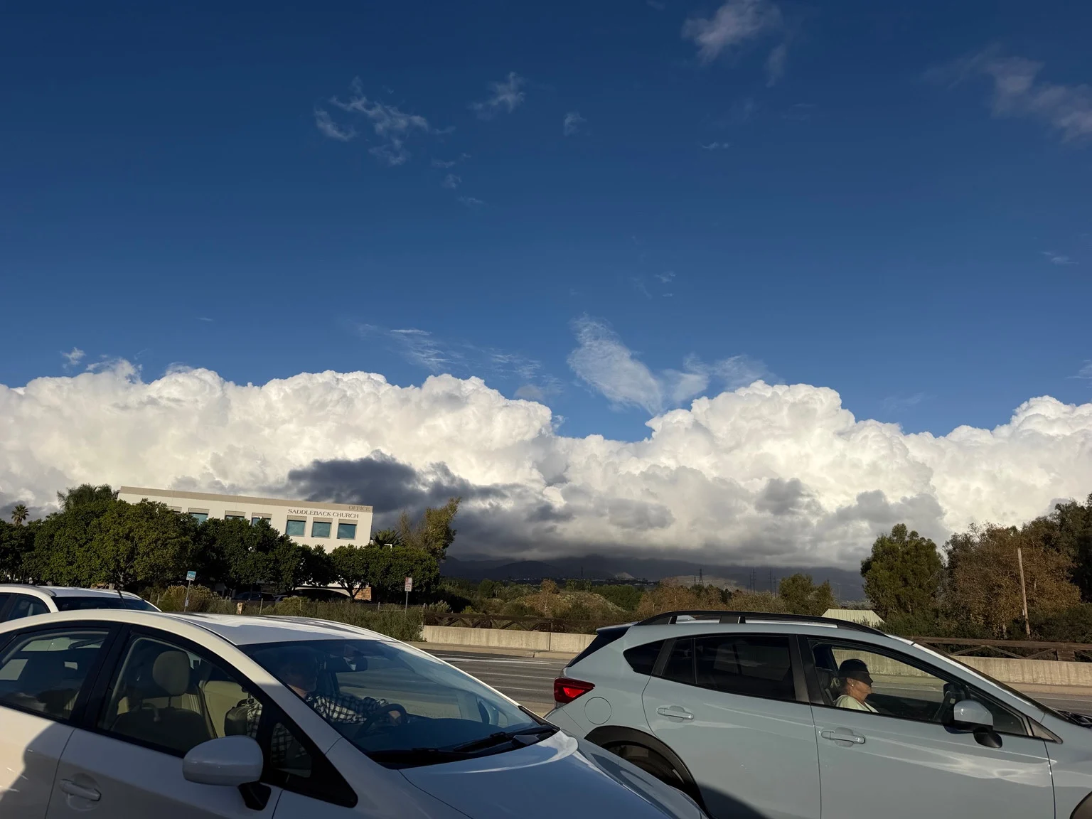
A bright blue sky, a dark-bottomed wall of cloud and mountains nearly swallowed by the view: Eric’s photographs capture the kind of Southern California sky that makes an ordinary shopping trip feel like a weather event. Sunlight picks out the tops of the clouds while the lower layers look much heavier. The contrast is striking, especially against the small buildings, cars and trees below.
For Montecido readers looking ahead to the next round of rain, however, the photographs and the forecast tell different parts of the story. The images show a dramatic sky. They do not establish when rain will arrive, how much will fall, or whether the clouds pictured belong to the next weather system.
A dramatic sky, but not a promise of heavy rain tomorrow
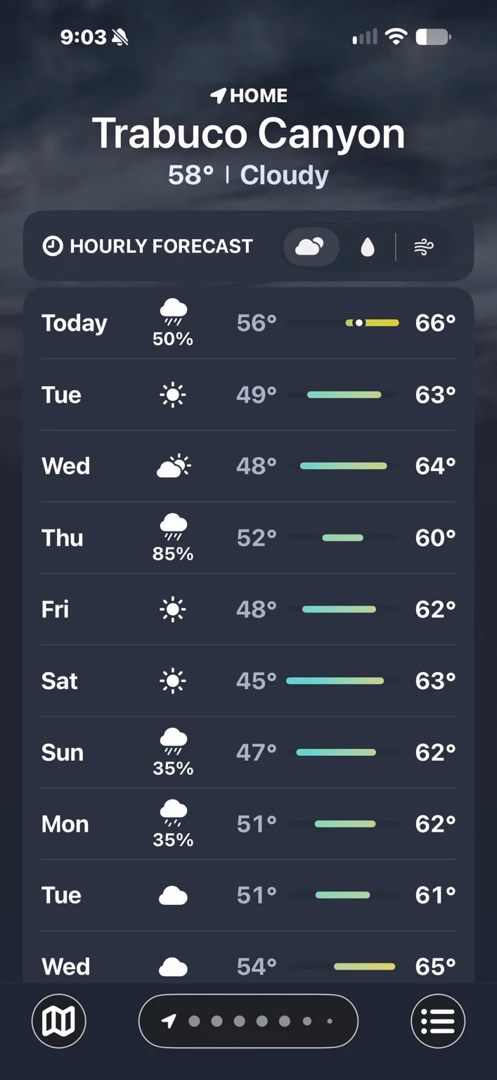
The National Weather Service’s Lake Forest forecast, updated at 8:05 p.m. Pacific on Monday, November 16, 2026, does not support a headline promising huge rain on Tuesday.
That forecast calls for a chance of showers and thunderstorms Monday night, followed by sunshine Tuesday, November 17, with a high near 65°F. Wednesday is expected to be mostly sunny. The more substantial rain signal comes later: showers are forecast early Thursday, November 19, with rain potentially heavy at times during Thursday.
Those are forecast conditions, not a guarantee of the weather at every home or street. Readers should check the latest National Weather Service forecast before making travel or outdoor plans, particularly because timing can shift between updates.
The iPhone Weather screenshot Eric supplied is for Trabuco Canyon. It also shows sunshine Tuesday, a partly cloudy Wednesday, and rain Thursday, with an 85% chance displayed for that day. That is a separate app snapshot, not the same forecast product as the NWS outlook. The percentages should not be merged into a single figure.
What these photographs show
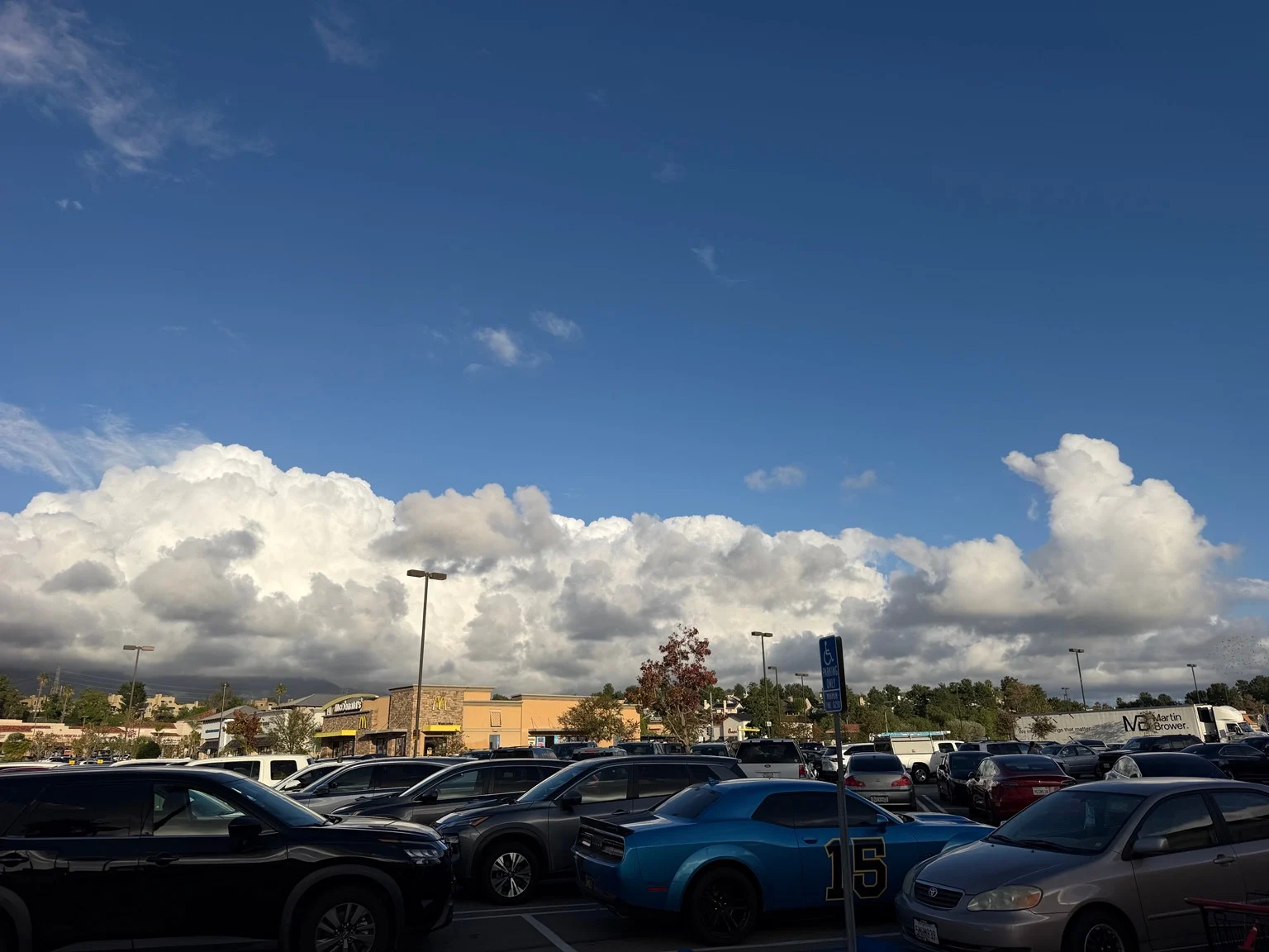
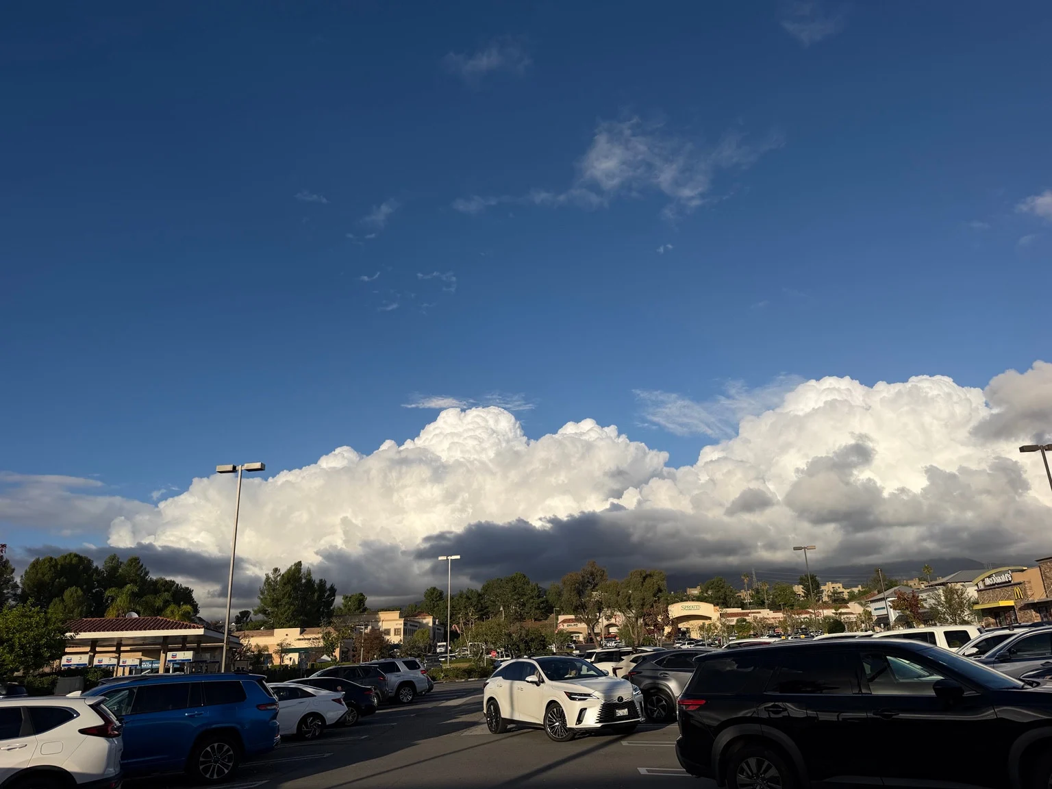
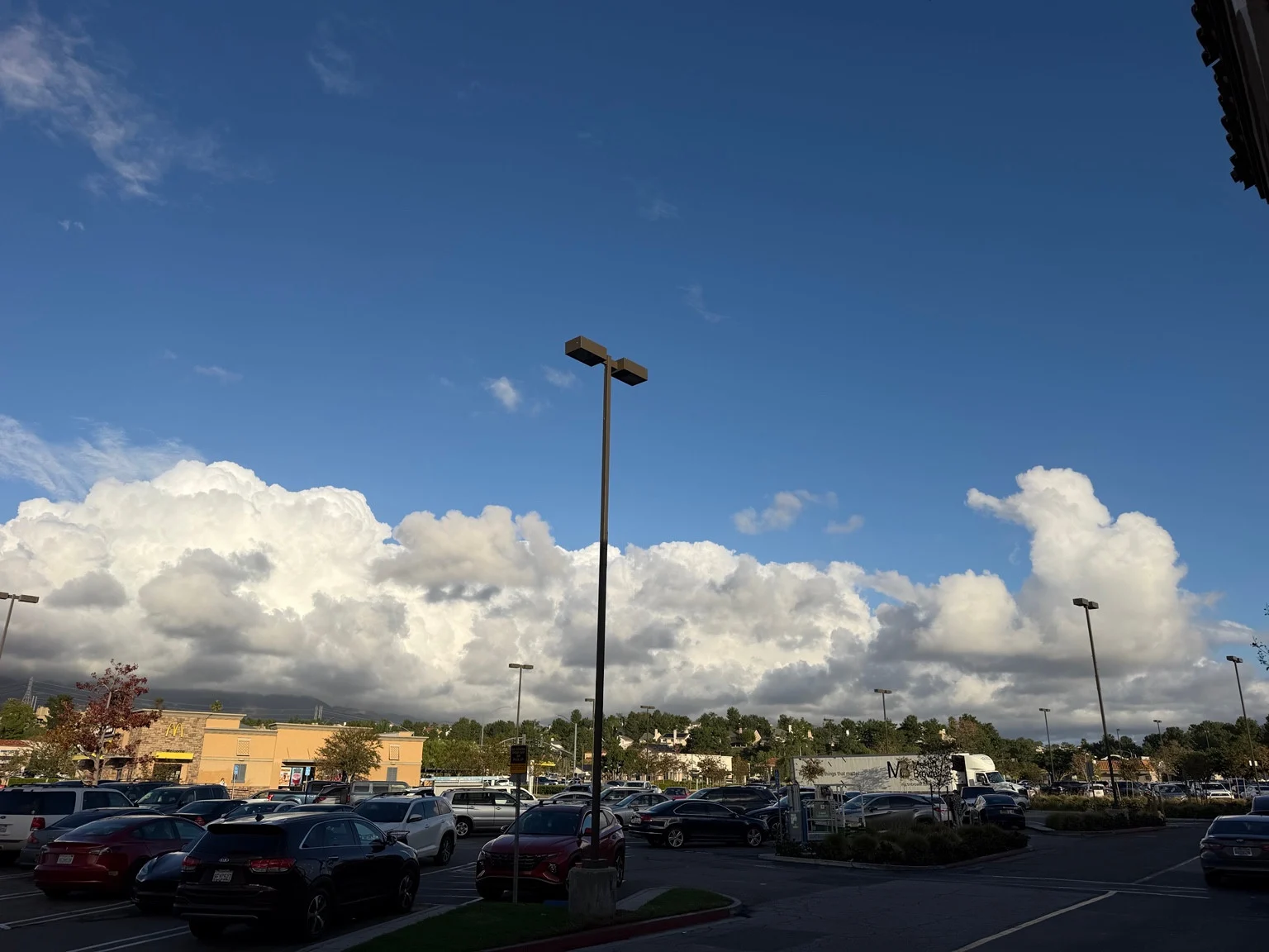
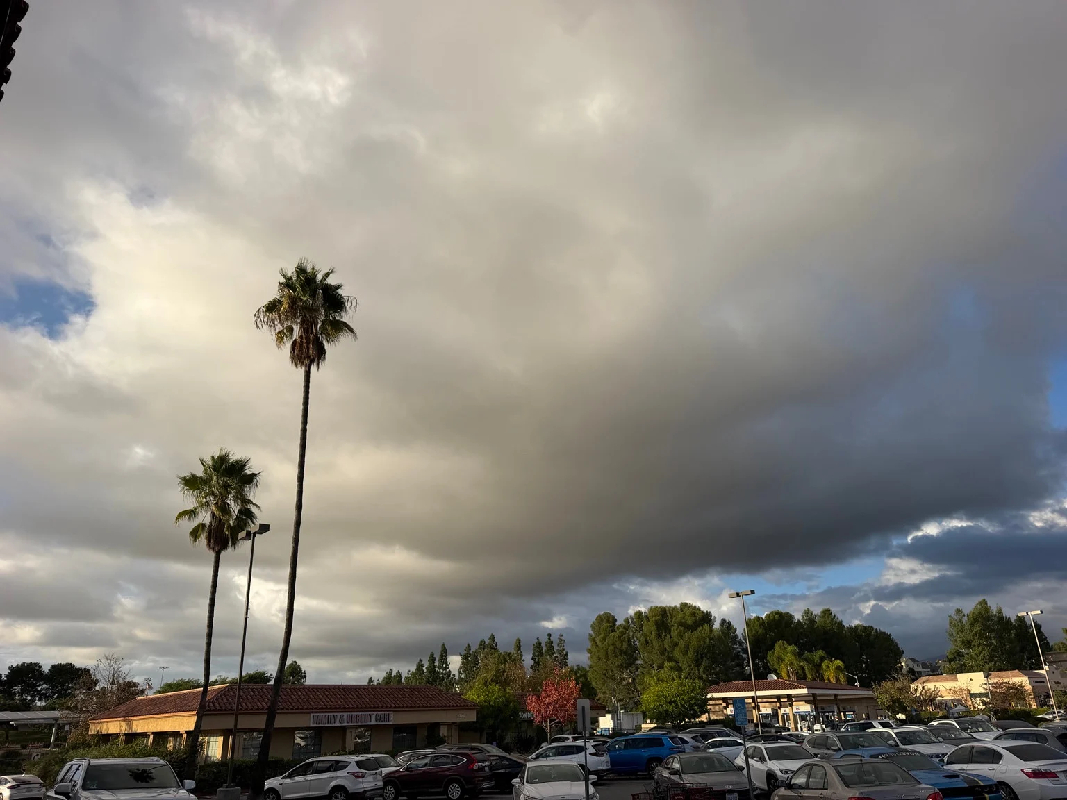
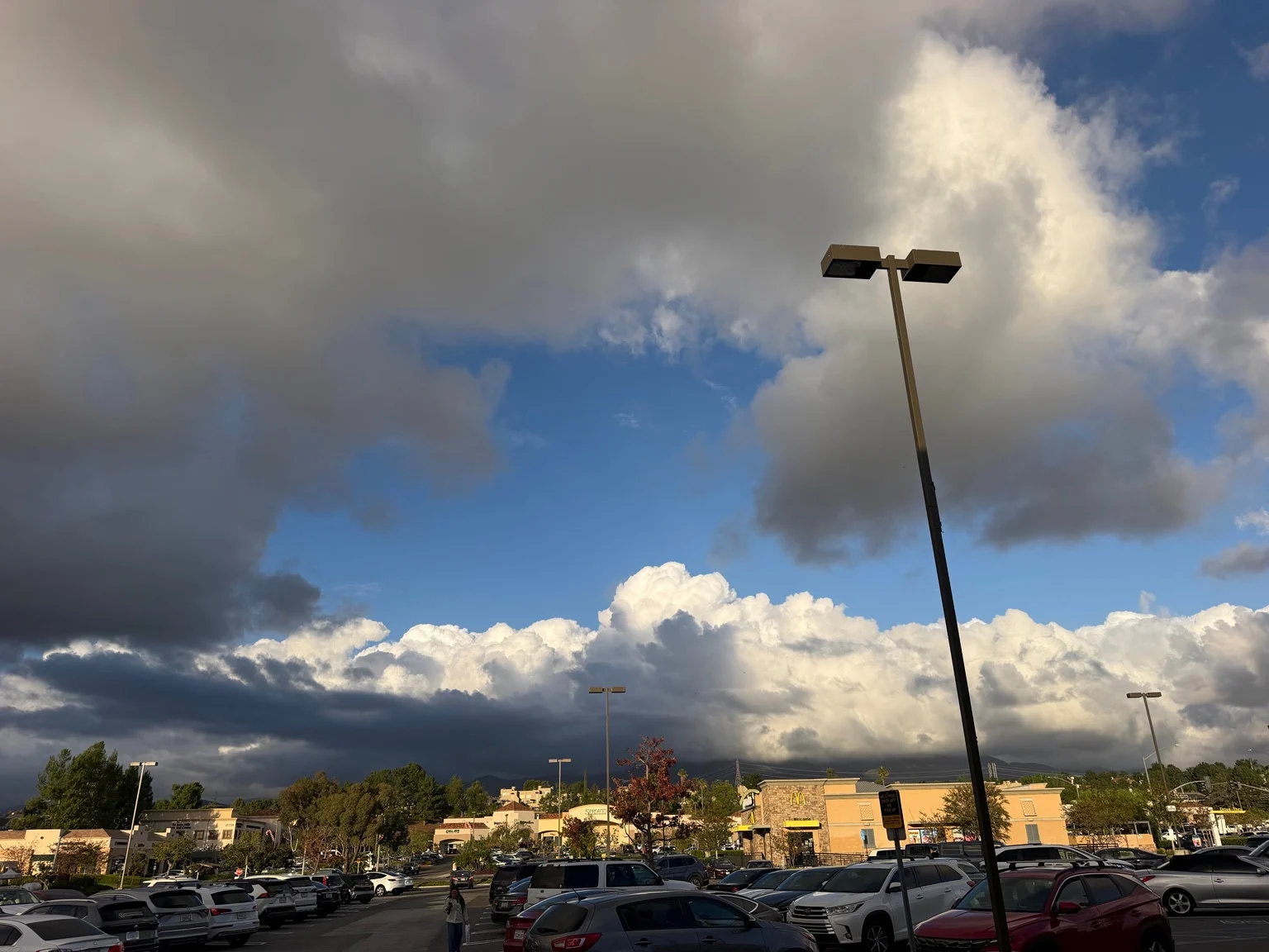
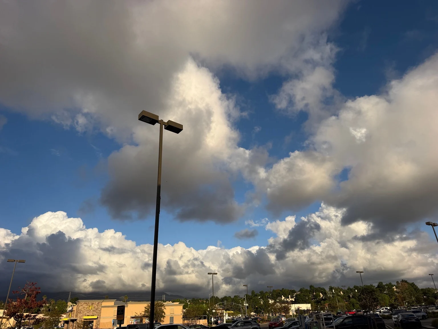
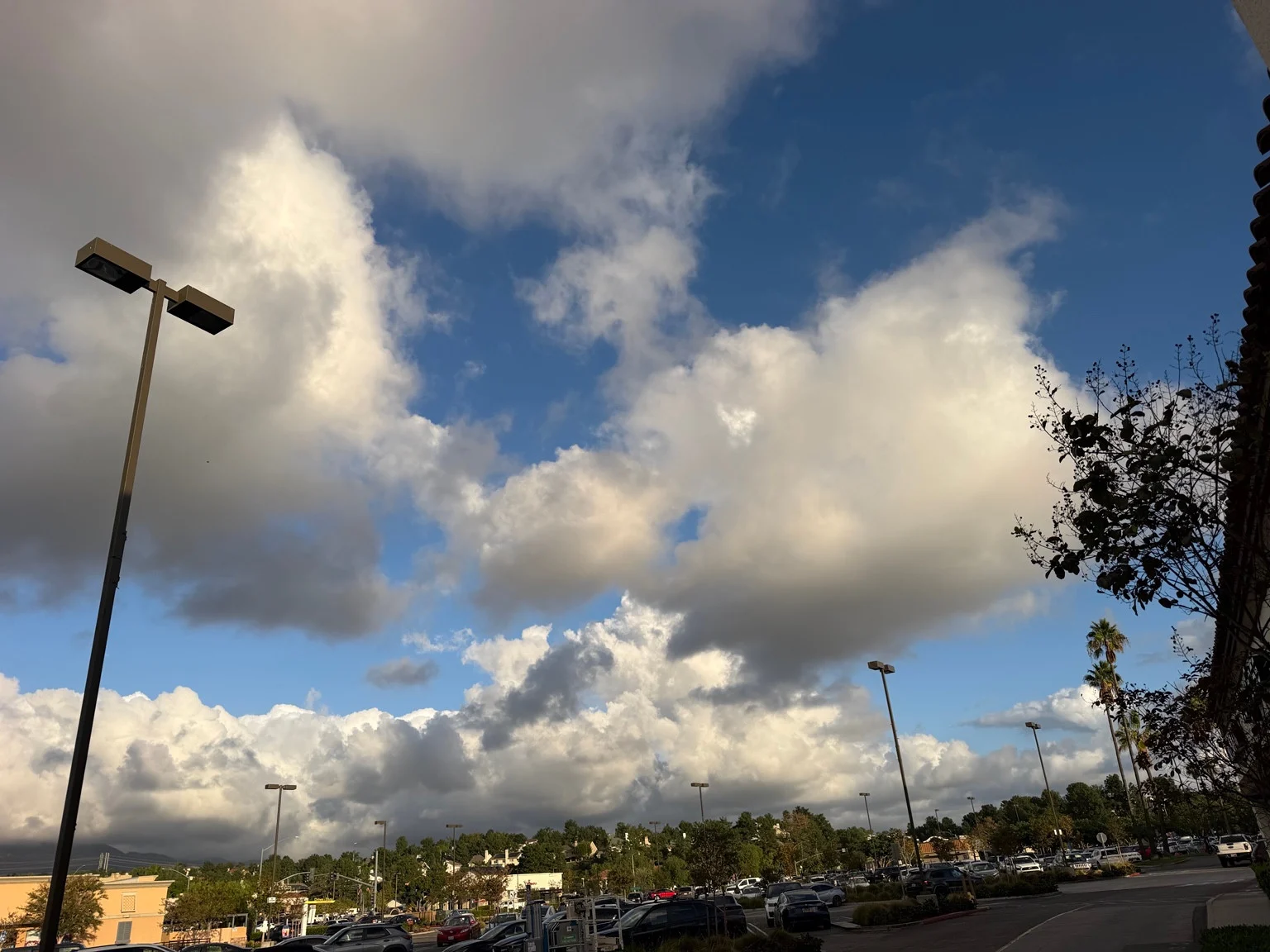
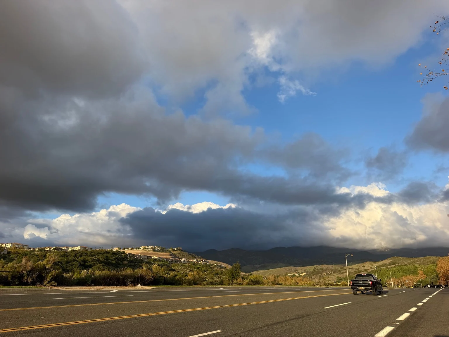
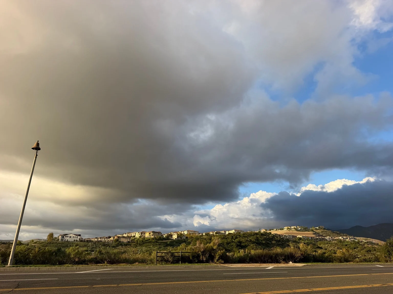
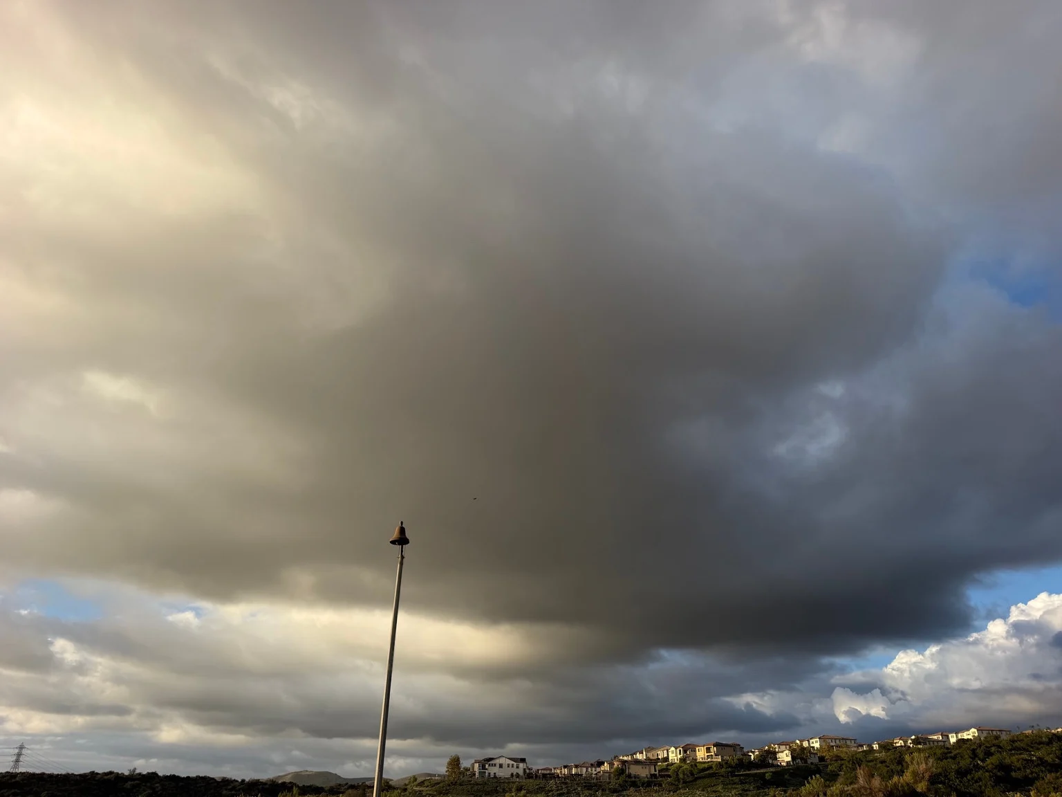
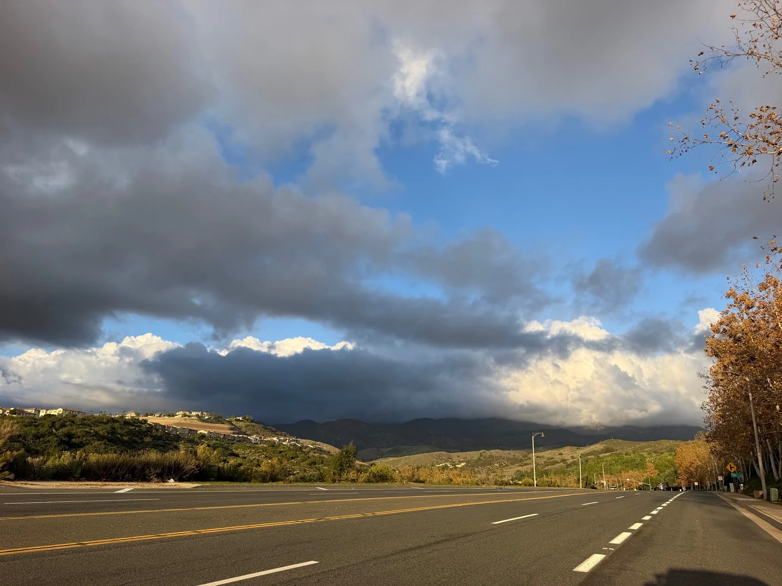
The strongest feature of the photographs is scale. The cloud bank rises far above the mountain backdrop, while the parking lot and storefronts provide a familiar foreground. In some views, the white upper clouds appear almost sculpted; beneath them, gray shading gives the scene its unsettled mood.
We are presenting these as reader-provided weather photographs, not radar imagery or proof of a particular storm’s intensity. Their exact capture times and locations have not been independently verified. Familiar commercial landmarks are not enough to date a photograph, and a still image cannot tell readers whether a cloud is approaching or moving away.
That distinction does not make the photographs less interesting. It makes their role clearer: they record a compelling moment in the sky, while an official forecast supplies the outlook.
A useful moment to get ready
Before the next wet period, take a few practical steps without treating an impressive cloudscape as an emergency warning. Check that phones are charged, know where flashlights and spare batteries are kept, and make sure family members know how to reach one another if plans change. The weather service’s flood-preparedness guidance also recommends knowing where water can collect along frequently used roads and keeping essential supplies accessible.
For drivers, the important rule is simple: do not enter a flooded road or drive around a closure. A familiar route is not automatically safe when water covers the pavement. The National Weather Service’s flood-safety advice stresses that people can underestimate moving water and cannot reliably judge the condition of the roadway underneath.
For now, enjoy the photographs for what they show: an enormous-looking cloud formation over an everyday landscape. Keep the forecast alongside that view, and watch for updates before the next rain arrives.